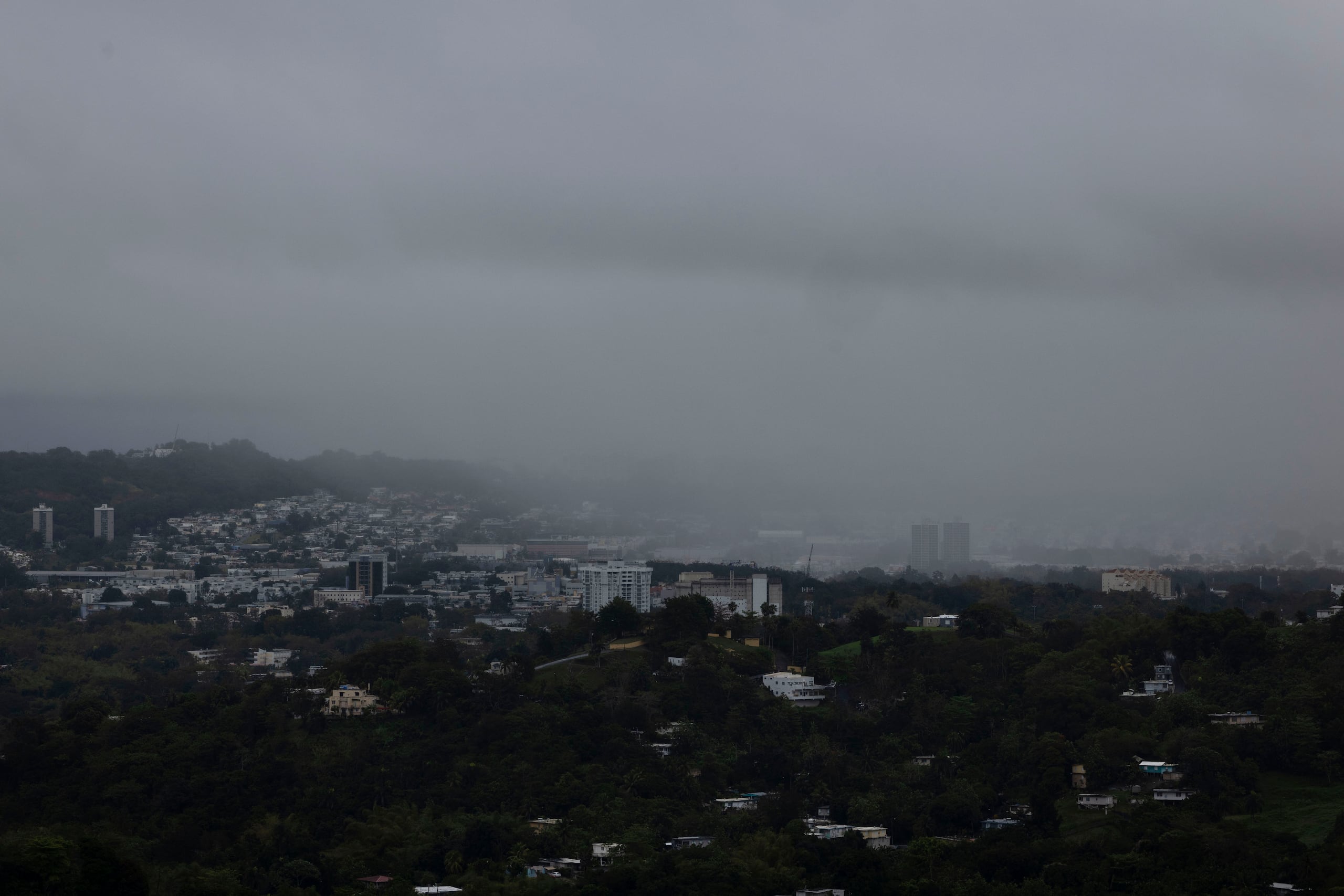
Rip Current Risk Climbs to High Level Monday Along Puerto Rico's North Coast
CoquiList · With information from El Nuevo Día

The National Weather Service (NWS) in San Juan warned that the rip current risk along Puerto Rico's north and east coast beaches, currently at a moderate level today, Sunday, could climb to a high level this Monday, September 28, as a weak swell from the Atlantic pushes surf higher along the coast 12. The warning comes at the tail end of a weekend already marked by a Heat Advisory in effect for the entire island, including Vieques and Culebra, until 4:00 p.m. today 2.
The NWS explained that on Saturday the moderate marine current risk was concentrated on exposed north and east coast beaches, plus Culebra, and that the risk expanded to more beaches as the weekend progressed 1. Federal agency meteorologists recommended that beachgoers pick guarded or more protected beaches while the advisory stands, rather than avoiding the coast entirely, since the hazard is not tied to a tropical system directly threatening Puerto Rico 2.
In fact, the National Hurricane Center's (NHC) Atlantic Tropical Weather Discussion, issued at 6:15 a.m. UTC this Sunday, placed the Atlantic's two active systems — the post-tropical remnant of Gonzalo, near 19.6N 23.2W with 35-knot winds, and Tropical Depression Fay, near 29.6N 43.9W — far from the Caribbean, with no track toward the region 4. The NHC was also monitoring two weak tropical waves: one along the 66-degree west meridian, south of the 18th parallel, moving westward with minimal convection, and another in the western Caribbean, between the 82 and 83-degree west meridians, with moderate convection over Central America 4. Neither currently poses a cyclone threat to the island.
This weekend's numbers
- Island-wide Heat Advisory in effect until 4:00 p.m. today, Sunday, September 27 2.
- Rip current risk: moderate Saturday on north, east, and Culebra beaches; expanding Sunday; possible jump to high level Monday, September 28, especially on the north coast 12.
- The U.S. Drought Monitor, updated September 24 at 9:00 a.m., showed improving drought conditions in Puerto Rico, while conditions degraded in the U.S. Virgin Islands 2.
- A WAPA report from September 25 forecast a "very hot" weekend with afternoon showers and a gradual increase in surf heading into Sunday and Monday 3.
- Flood risk remains higher in western and northwestern sectors due to ground already saturated from previous rain, which could cause road flooding, low-lying urban flooding, creek overflow, and isolated landslides 1.
What this means for you
If you have beach plans this weekend or on Monday, the real threat is not a hurricane or a named storm, it is the surf. A rip current can pull even experienced swimmers out to sea within seconds, and the jump from moderate to high risk on the north coast means beaches that look calm today could turn dangerous overnight as the swell arrives 12. If you live or work in the west or northwest, the risk compounds: extreme heat during the day and the possibility of sudden afternoon flooding from ground that can no longer absorb more water 1. For coastal business owners — beach kiosks, water-sports rentals — it is worth warning customers ahead of time, since a shift from moderate to high risk can happen in under 24 hours.
How to do it / Checklist
- Before heading to the beach, check the day's marine forecast and rip current risk at weather.gov/sju or through the NWS app 2.
- Choose beaches with active lifeguards (Isla Verde, Luquillo, Crash Boat) over open, unguarded stretches, especially on the north and east coasts 2.
- If you go in the water, stay near a lifeguard and avoid rocks, jetties, and breaking-wave zones.
- If a rip current catches you, do not swim against it: swim parallel to shore until you are out of the current, then head back to the beach.
- Stay hydrated and take breaks in shade or air conditioning while the Heat Advisory remains in effect 2.
- If you live in the west or northwest, have an alternate route planned in case of sudden flooding on low-lying roads during afternoon rain 1.
- Follow warning flags at municipal beaches; a red or double-red flag means the water is closed to the public.
What's next
The NWS will update its marine forecast daily this week to confirm whether the rip current risk actually reaches high level on Monday and how many days it holds, which will depend on how much the Atlantic swell grows 12. On the tropical front, the NHC will keep watching the two tropical waves identified south of Puerto Rico and in the western Caribbean, though as of this report neither showed development odds pointing toward the island 4. Meanwhile, the recent improvement in the Drought Monitor suggests the fall rainy season continues to favor water recovery, a data point the NWS and USGS will keep updating week by week 2.
Sources
- El Nuevo Dia — "Planes al aire libre? Advierten sobre calor, aguaceros y condiciones peligrosas en las playas" — https://www.elnuevodia.com/noticias/el-tiempo/notas/planes-al-aire-libre-advierten-sobre-calor-aguaceros-y-condiciones-peligrosas-en-las-playas/
- National Weather Service, San Juan (NOAA/NWS) — Active advisories and Drought Monitor — https://www.weather.gov/sju/
- WAPA TV — "Tu Tiempo: fin de semana bien caluroso, lluvias en la tarde e incremento en oleaje" — https://www.wapa.tv/noticias/eltiempo/tu-tiempo-fin-de-semana-bien-caluroso-lluvias-en-la-tarde-e-incremento-en-oleaje/article_0b79763a-2b87-4486-8faf-3f313a6a1bdd.html
- National Hurricane Center (NHC/NOAA) — Atlantic Tropical Weather Discussion — https://www.nhc.noaa.gov/text/MIATWDAT.shtml
Sources
CoquiList summary and local context. Read the linked sources for the original reporting.
Ask about this story
Ask anything about this article — in English or Spanish.
Log in to ask about this story.
Comments (0)
Log in to join the conversation.
No comments yet — be the first.