NWS Warns of Rising Flood Risk Thursday Through Saturday as Upper-Level Low Lingers Near Puerto Rico
CoquiList · With information from National Weather Service San Juan

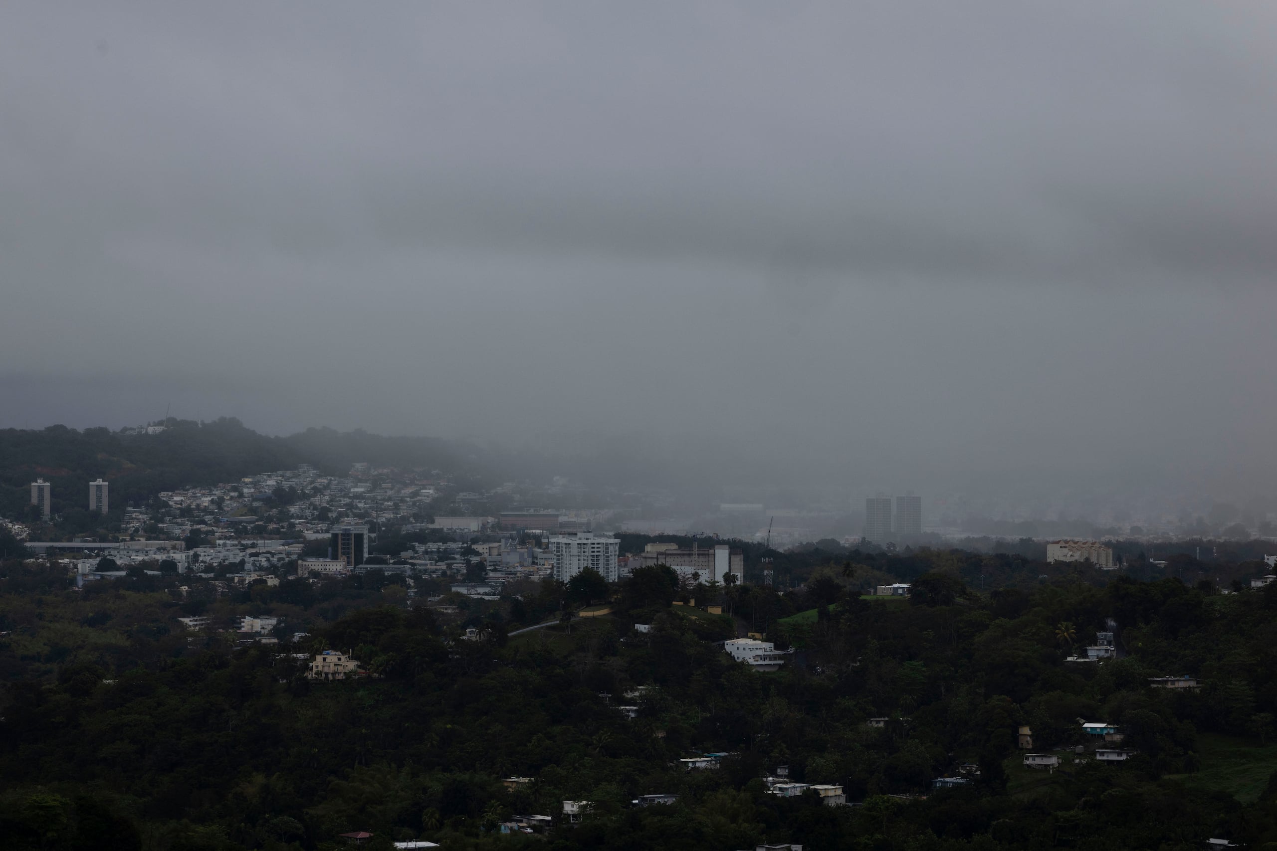
The National Weather Service (NWS) in San Juan warned Wednesday that an upper-level low parked northeast of the U.S. Virgin Islands will linger over the region through Thursday, raising the risk of urban, roadway and small-stream flooding across Puerto Rico from Thursday, October 1 through Saturday, October 3 — with Friday flagged as the most active day of the episode 12.
Background
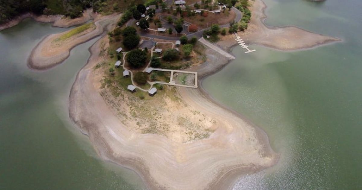
The advisory arrives after months in which Puerto Rico's weather conversation revolved almost entirely around drought and falling reservoir levels. This time the script flips: what's coming is water, not a lack of it. The National Hurricane Center (NHC) says no tropical cyclone formation is expected anywhere in the Atlantic, Caribbean or Gulf over the next seven days 3, so this isn't a named storm — it's a humidity surge combined with an upper-level disturbance that favors stronger-than-usual thunderstorm development for this time of year. The NWS itself noted that the latest U.S. Drought Monitor update, released September 24, showed improving conditions for Puerto Rico, meaning this incoming rain arrives just as the island was starting to claw back ground after the reservoir crisis of recent weeks 14.
The numbers
- The NWS Area Forecast Discussion (AFD) was issued at 1:31 p.m. AST Wednesday, September 30, 2026 2.
- The upper-level low sits northeast of the U.S. Virgin Islands and will linger over the area through Thursday before departing 2.
- Tonight into Thursday morning: passing showers over the USVI and eastern/northern Puerto Rico 2.
- Thursday afternoon: activity shifts toward the interior and west, with urban and small-stream flooding possible wherever rain is frequent and intense 12.
- Friday: described by the NWS as "the most active weather day," with more widespread rain expected over the northwest, west, interior and east of the island 12.
- Weekend: conditions gradually return to a more typical early-October pattern 2.
- Rip current risk: moderate along north- and east-facing beaches, with potentially life-threatening conditions near reefs and jetties 12.
- Heat risk: limited Thursday through Saturday, particularly in north-central and western urbanized coastal areas 12.
- As of October 1, there were no active watches, warnings or advisories for Puerto Rico or the USVI, though the NWS made clear that could change as the system evolves 1.
What this means for you
If you live near a stream (quebrada), in a historically flood-prone area, or in the mountainous interior, this is the moment to actively track the forecast, not wait for an alert to sound. The NWS was explicit that an isolated flash flood cannot be ruled out, especially Friday, when the most widespread rain is expected. For the rest of the island, the biggest practical risk is on the roads: urban streets that flood within minutes during intense downpours, especially in the afternoon when storm activity overlaps with evening commute traffic. Anyone planning beach time should know the rip current risk is already moderate independent of the rain, so the sky doesn't need to be stormy for the ocean to be dangerous.
How to do it / Checklist
- Turn on NWS San Juan alerts through the official NWS app or follow @NWSSanJuan for real-time flood updates, since the current advisory could escalate to a Flood Watch or Warning any time between Thursday and Saturday 2.
- If you live near a stream or in an area with a history of flooding, have an exit plan mapped out before Friday, when the most widespread activity is expected.
- Never drive or walk through a flooded road; most flood-related deaths in Puerto Rico happen this way, not from rising rivers.
- Clear storm drains and gutters near your home or business of leaves and debris before Thursday afternoon's heavier rain arrives.
- If heading to the beach, choose one with a lifeguard and avoid swimming near reefs or jetties on north- and east-facing coasts, where rip current risk is moderate.
- Plan outdoor activities knowing Friday is, per the NWS, the day with the highest chance of widespread storms and rain.
What comes next
The NWS will keep updating its forecast discussion as the upper-level low evolves, and a Flood Watch is not off the table if models trend toward higher rainfall totals, particularly for the interior and west. By Sunday and early next week, the pattern is expected to return to something closer to typical early-October conditions, with less widespread rain coverage. Meanwhile, the next U.S. Drought Monitor update — released Thursdays — could show whether this rain event helps extend the relief that began showing up in the September 24 report, after weeks of reservoir strain in the metro area 4.
Sources
- National Weather Service San Juan — Homepage and current conditions — https://www.weather.gov/sju/
- National Weather Service San Juan — Area Forecast Discussion (AFD), September 30, 2026 — https://forecast.weather.gov/product.php?site=SJU&issuedby=SJU&product=AFD&format=txt&version=1&glossary=0
- National Hurricane Center — Atlantic Tropical Weather Outlook — https://www.nhc.noaa.gov/text/MIATWOAT.shtml
- U.S. Drought Monitor — Puerto Rico — https://droughtmonitor.unl.edu/CurrentMap/StateDroughtMonitor.aspx?PR
Sources
CoquiList summary and local context. Read the linked sources for the original reporting.
Ask about this story
Ask anything about this article — in English or Spanish.
Log in to ask about this story.
Comments (0)
Log in to join the conversation.
No comments yet — be the first.