108-Degree Heat and Floods in 14 Municipalities: NWS Keeps Puerto Rico on Alert Through Friday
CoquiList · With information from Metro Puerto Rico

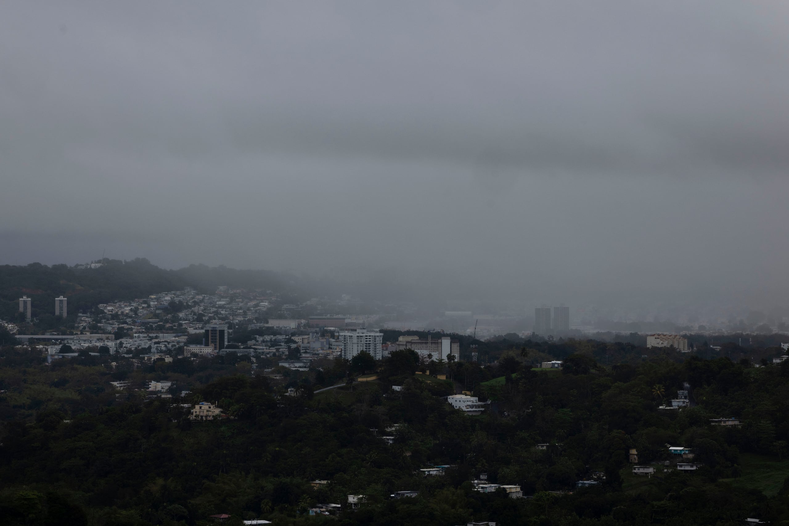
November arrived in Puerto Rico with summer-level heat and a rainy-season sky. In just 48 hours the National Weather Service (NWS) in San Juan issued two heat advisories for the whole island, a flash flood warning for Caguas and flood advisories and warnings for 14 municipalities. And the worst of the week has not passed: the federal forecast puts Thursday and Friday among the days of greatest concern for excessive rain, and a northerly swell points to a dangerous weekend at the beaches 123.
A week that started hot
On Monday, November 2 the week opened with sunny spells, passing showers and afternoon thunderstorms, with highs near 84 degrees, above normal for the date 4. There was no heat advisory yet that day, but the NWS already expected heat indices to climb in urban and coastal areas 4.
On Tuesday the 3rd the advisory came: a heat advisory for all of Puerto Rico from 9:00 a.m. to 2:00 p.m., with heat indices of 100 degrees or more, especially in coastal and urban areas 5. On Wednesday the 4th the advisory ran from 10:00 a.m. to 5:00 p.m. and the NWS projected heat indices between 100 and 108 degrees Fahrenheit 1. According to the NWS, the risk is higher in coastal zones, low-lying areas, interior valleys and urban zones 1.
From heat to flooding
The same humid pattern that raises the heat index feeds the downpours. On Wednesday afternoon the NWS issued a flash flood warning for Caguas, with the Las Carolinas and Hacienda San José sectors most prone, in effect until 4:45 p.m. 2. Those sectors could get another one to three inches of rain on already soaked ground 2.
Flood advisories also covered:
- Aguas Buenas, Bayamón, Cidra, Guaynabo and San Juan, until 4:30 p.m. 2
- Gurabo and Trujillo Alto, until 5:15 p.m. 2
- Cabo Rojo, Hormigueros, Mayagüez, Sabana Grande, San Germán and Yauco, until 6:15 p.m. 2
The NWS also issued a special weather statement for gusts of up to 40 miles per hour and frequent lightning over the metro area, the east and the interior 2.
What the forecasts say
Weak southwesterly winds, together with the humidity, will keep showers and thunderstorms going over the interior and east, including the San Juan metro area, for the next few days 3. The NWS warns of urban and small-stream flooding, with flash flooding possible in the east interior, the northeast and the San Juan metro area 3. Meteorologist María Novoa said the shower pattern over the mountain towns and the metro area will continue, and that Thursday and Friday look like the rainiest days 2. The NWS describes the unsettled pattern as running through Friday 1.
For Wednesday, the chance of rain was 70 percent with general totals of half an inch to three quarters of an inch; local amounts can be much higher under a strong downpour 1.
What it means for you
- If you work or study outdoors, extreme heat in November is no longer an exception. The NWS warns that it can raise the risk of heat-related illness, especially for sensitive people without adequate hydration or cooling 1.
- If you live or drive in Caguas, Bayamón, Guaynabo, Trujillo Alto, San Juan or the west (Mayagüez, Yauco, Cabo Rojo), streams and low streets can rise quickly, even with short downpours 2.
- If you plan a beach trip this weekend, the NWS anticipates a high rip current risk along northern Puerto Rico and Culebra from a northerly swell 3. On Wednesday the risk was moderate 3.
How to / Checklist
- Hydrate before heading out and keep water within reach. Avoid prolonged direct sun and seek air-conditioned places 15.
- Learn the signs of heat exhaustion and heat stroke: dizziness, weakness, headache, nausea, heavy sweating, fatigue and fainting. If you suspect heat stroke, call 911 1.
- Check the forecast and alerts at weather.gov/sju or @NWSSanJuan on X before going out, especially in the afternoons 23.
- Do not cross flooded streets or streams. If you live in a flood-prone area, have an alternate route and move vehicles to high ground.
- If you go to the beach this weekend, pick one with lifeguards or a more protected one and swim near the lifeguard 3.
- Carry an umbrella: the outlook for the coming days points to active afternoons.
What's next
The NWS keeps its message of unsettled weather "during the next few days," with more activity in the afternoons and Thursday and Friday as the key days 23. After that, the northerly swell takes over with a high rip current risk through the weekend, although the NWS did not specify wave heights or exact dates 3. Expect further forecast updates and possible flood advisories throughout the day.
Sources
- Metro Puerto Rico, November 4, 2026: heat indices and rain forecast.
- El Nuevo Día, November 4, 2026: flood advisories in the metro area.
- National Weather Service, San Juan (weather.gov/sju), notices of November 4, 2026.
- Metro Puerto Rico, November 2, 2026: forecast for the week.
- Metro Puerto Rico, November 3, 2026: heat advisory.
Sources
CoquiList summary and local context. Read the linked sources for the original reporting.
Ask about this story
Ask anything about this article — in English or Spanish.
Log in to ask about this story.
Comments (0)
Log in to join the conversation.
No comments yet — be the first.