A trough dumps 3 inches of rain and threatens flash flooding heading into Thanksgiving week
CoquiList · With information from Servicio Nacional de Meteorología San Juan
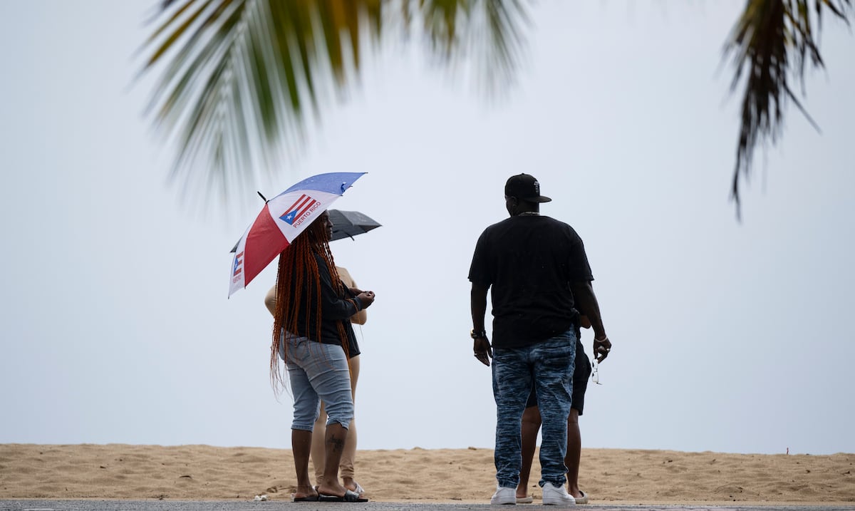
Puerto Rico heads into Thanksgiving week with saturated ground, swollen rivers and a forecast that offers no break: the National Weather Service (NWS) in San Juan warns that a trough will keep showers and thunderstorms going from this Sunday, November 22, through Tuesday, with a risk of isolated flash flooding 13. On Saturday, 2 to 3 inches of rain were already measured across northeastern Puerto Rico and the San Juan metro area, triggering flood advisories 1.
What happened and why it matters
The NWS forecast discussion issued at 1:56 p.m. on Saturday, November 21, names flooding as the main concern 1. Forecast models "continue trending toward higher rainfall accumulations," and several rivers were already running high after days of showers 1. With soils soaked, water runs off faster, and rivers and streams respond to less additional rain 1.
On Saturday at 12:28 p.m., the NWS issued a flood advisory for Canóvanas, Carolina, Loíza and Río Grande, in effect until 4:15 p.m., and another for Aguadilla, Arecibo, Camuy, Hatillo, Isabela, Lares, Moca, Quebradillas and San Sebastián, until 5:00 p.m. 2. By then 1 to 3 inches had already fallen, with 1 to 2 more inches expected 2. Another flood advisory, valid until 5:15 a.m., went out at 3:15 a.m. Sunday 1.
It caps a wet week. The pattern has repeated since early November, when the La Plata reservoir rose almost half a meter in 24 hours after heavy rain 5.
The forecast in numbers
- Saturday 21: showers and thunderstorms in the interior, west and northwest; heavy rain on the northern slopes could cause urban flooding and ponding on roads 3.
- Sunday 22 to Monday 23: the NWS expects unsettled conditions as a mid- to upper-level trough approaches. Precipitable water will stay near 1.9 to 2.1 inches, a level that favors deeper thunderstorms 1. The highest rainfall potential is in the northeast and from the western interior to the northwest, though rain is possible anywhere 1.
- Tuesday 24: showers and isolated thunderstorms persist. The excessive rainfall risk stays at Level 2 across parts of western Puerto Rico 1.
- Wednesday 25: a Level 2 risk continues somewhere in the forecast area 1.
- Thursday 26, Thanksgiving: the risk drops to Level 1, though ponding is still possible in poorly drained areas 1.
- Heat: humidity and sunshine between showers could raise heat indices Wednesday and Thursday 1.
- Seas: 3 to 5 feet, occasionally higher, with hazardous conditions for small boats during thunderstorms 1.
- Rip currents: a high risk of life-threatening rip currents lasted through Saturday evening along the north coast, from Rincón to Fajardo 1. The risk drops to moderate Sunday and is expected to stay there for several days 3.
There is currently no cyclone threat to Puerto Rico or the Caribbean. The National Hurricane Center is watching a low-pressure area hundreds of miles east of Florida's northeast coast, with a 10% chance of development over seven days, moving north and away 4.
What it means for you
If you are traveling, shopping for Thursday's dinner or heading to the beach, Sunday and Monday are the trickiest days. The NWS reminds drivers that many flood deaths happen inside vehicles, so never cross a flooded road 2. If you live near a creek or river, or in an area that flooded this week, watch water levels because rivers are already running high 1.
At the airport, the NWS expects renewed thunderstorms Sunday afternoon near San Juan, Aguadilla and Ponce, with periods of reduced visibility and cloud ceilings 1. That can disrupt itineraries on a busy weekend. At the beach, rip currents can pull even strong swimmers out to sea, and the advice is to stay out of the water where warnings are posted 4.
How to / Checklist
- Check the official forecast at weather.gov/sju before leaving home and again in the afternoon, when thunderstorms concentrate 12.
- Do not drive through flooded streets or bridges. If you see flooding, report it to the Police or your municipal emergency management office when it is safe to do so 2. In an emergency, call 9-1-1.
- Clear storm drains around your home and move valuables to higher ground if you live in a flood-prone area 1.
- At the beach, obey flags and warnings. Avoid the water along the north coast, from Rincón to Fajardo, while rip current risk remains 14.
- Small-boat operators should postpone outings when thunderstorms are around, since seas will run 3 to 5 feet 1.
- If you are flying, confirm your flight with the airline before heading to Luis Muñoz Marín because of possible thunderstorm delays 1.
- On Wednesday and Thursday, hydrate and seek shade outdoors because of the humid heat 1.
What's next
The NWS says the pattern should begin to change Wednesday, when an upper-level ridge builds in and limits thunderstorm development, though it cautions that model uncertainty on timing and strength is substantial 1. Around Friday, November 27, a brief moisture rebound could raise shower coverage again, followed by a drier trend Saturday, November 28 1. The NWS indicated more flood alerts may be issued, so check the active advisory every day 1.
Sources
CoquiList summary and local context. Read the linked sources for the original reporting.
Ask about this story
Ask anything about this article — in English or Spanish.
Log in to ask about this story.
Comments (0)
Log in to join the conversation.
No comments yet — be the first.